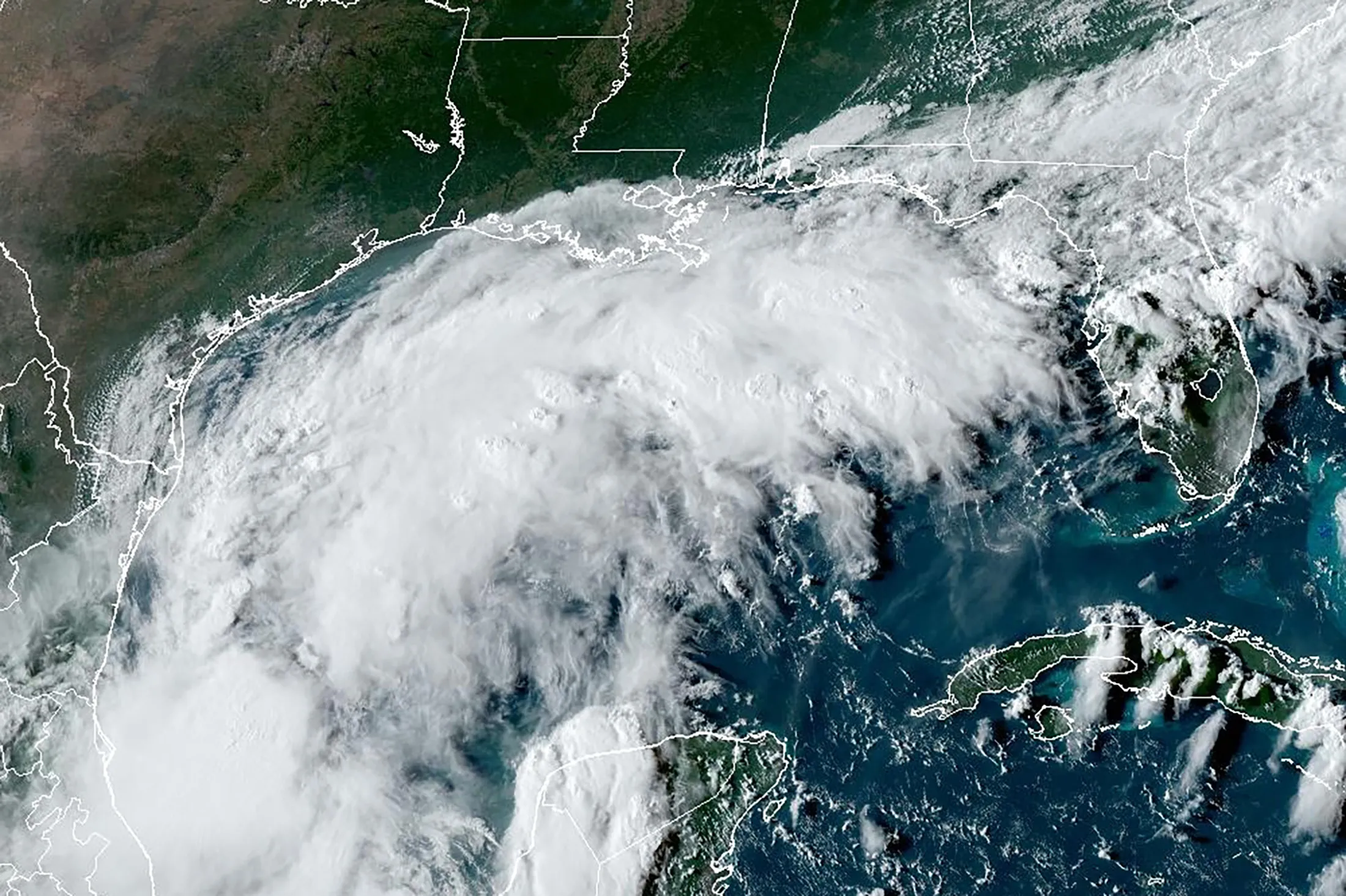
A storm system in the Gulf of Mexico is forecast to strengthen into a hurricane early this week, bringing heavy rain, damaging winds and potentially life-threatening storm surges to parts of the Texas and Louisiana coastlines.
The system is forecast to become a tropical storm on Monday as it moves north, with storm watches in effect for parts of northeastern Mexico, the National Hurricane Center said on Sunday. If it continues to strengthen, it will be named Tropical Storm Francine, with the potential to grow into a hurricane that could slam portions of the upper Texas and Louisiana coasts beginning Tuesday night, the NHC said.
The storm, which could lash the region through Thursday, may threaten offshore oil and natural gas output, potentially pausing production and forcing the evacuation of on-board crews. It’s expected to bring rainfall of 4 to 8 inches, with some areas receiving as much as 12 inches, the NHC said. Such amounts would lead to the risk of flash and urban flooding, it said.
Francine would be the third named storm to hit the mainland US this year and the second to strike Texas. The 2024 Atlantic hurricane season got off to a quick start, producing five storms, three of which became hurricanes, but then lulled in recent weeks.
September is traditionally the most active month for storms across the Atlantic. A storm gets a name when its winds reach 39 miles (63 kilometers) per hour.
Share This:


 CDN NEWS |
  US NEWS


